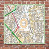
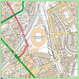
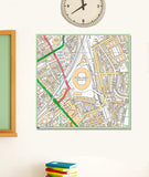
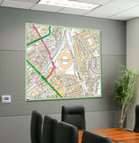
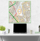
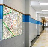
Postcode Centred - Local Area Study Map - 21st Century Current Mapping- 100 x 100cm Mounted Board
This is a detailed Ordnance Survey street map of any area in the United Kingdom, the choice is up to you. Whether you want your School, local area or a specific football stadium or Business. Any UK postcode can be centered for your map. They are highly detailed as they include street names, all public buildings, schools, parks etc.
Size 100cm x 100cm and can cover areas from 1kx1k - 4kx4k ( variations available)
The map is printed directly onto 3mm thick, rigid PVC plastic with permanent inks that are suitable for interior and exterior display. This makes it perfect for any school which wishes to hang this is a classroom, corridor or playground, showing the children about their local area or a specific area for subjects such as geography. The map would also be brilliant for any business as it can be used as a stunning wall piece in an office or as a useful tool for showing something you require, such as the distance you can deliver to etc. They would also look great on any wall in a home, centered on your favourite place, whether that be your teams stadium or a place which has a lot of sentimental value to you.
Comes with 2 metal hangers for easy instillation. Please add the postcode you wish to have printed into the notes section when ordering.
Please note - mounted board maps require extra handling time (approx 10 days).


