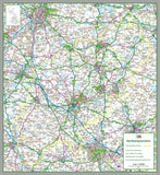
Northamptonshire County Map
Tax included.
1:100,000 detailed map of Northamptonshire, in England, UK.
This map covers the County Town of Northampton and towns:
- Kettering
- Corby
- Wellingborough
- Rushden
- Daventry
- South Northamptonshire
- Northampton
- Daventry
- Wellingborough
- Kettering
- Corby
- East Northamptonshire
78 x 85 cm paper laminated map
The map features the county boundary, roads, railways, land features, water features and tourist information.


