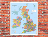
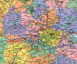
British Isles Political Mounted Wall Map
Tax included.
Maps help us understand the Earth that we live on, and maps of our country provide children with a sense of location relative to other areas of the British Isles. This map makes an interesting and informative display for the playground.
This map is size 120 x 100 cm and printed using all weather stay-fast inks onto rigid 3mm plastic PVC. It comes ready for wall fixing with predrilled holes and wall screws.


